
Like it or not, we’re now just two weeks away from the average date of Buffalo’s first measurable first snowfall. The problem is, in our chaotic winter patterns, an average doesn’t tell us much.
In fact, Buffalo’s earliest measurable snowfall is October 6. The latest? December 18. Most locals may remember the year that happened too: it was in 2015.
Related: Buffalo’s latest recorded snowfall
While that first date is now absolutely out of the realm of possibilities for obvious reasons, the latest date is also quite unlikely. Some of the main weather models are showing signs of serious cold air in the Eastern U.S. and the possibility for some lake effect snow as early as Halloween. But other models continue to keep things quiet and mild.
Related: Will it snow for Halloween?
Whatever the models show or what the record books say, the forecast for the first accumulating snowfall is never a slam dunk no matter where you are.
There are several factors that play into determining whether or not the snow will accumulate. The most obvious is having the air be cold enough at the surface and to have that cold air meet up with enough moisture to allow for precipitation.
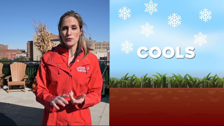
Learn about some of the sneakier factors in a "first snow" forecast in this week’s Heather’s Weather Whys.
New episodes of Heather’s Weather Whys are posted to the WGRZ YouTube channel every Wednesday evening. You can also watch it on Thursdays at 5:30 on Channel 2 News.
If you have a weather question for Heather to answer, send it to her at heather.waldman@wgrz.com or connect with her on Facebook or Twitter.